
Geofenced Tour Guide App for Island Visitors
A mobile tour guide that tells visitors about the places around them, on foot or by car.
- Industry
- Built with
- Flutter
- Node.js
- MySQL
The project
A mobile tour guide for visitors exploring an island destination. As they move, geofencing picks up the attractions nearby and the app shows a description and an audio guide for each one, in a Walking mode for people on foot and a Car mode for drivers. It runs on iOS and Android, offers its content in several languages and takes payments in the app, including cash payments confirmed with a QR code.
The challenge
- Visitors depended on printed guides and scattered websites, and missed places that were close by.
- Information had to work on foot and from a car, where the driver cannot read a screen.
- Visitors arrive from many countries, so one language was not enough.
- Many local operators take cash, which an app cannot confirm on its own.
What we built
- Geofencing that brings up attractions as the visitor gets close, with a description and an audio guide.
- Separate Walking and Car modes, with hands-free audio in the car.
- An interactive map with real-time navigation and multilingual content.
- In-app payments, plus a QR code that confirms a cash payment.
Key features
Geofenced points of interest
Nearby attractions appear as the visitor approaches them, with no search needed.
Walking and Car modes
Each mode suits how the visitor travels; Car mode plays guides as audio so the driver keeps their eyes on the road.
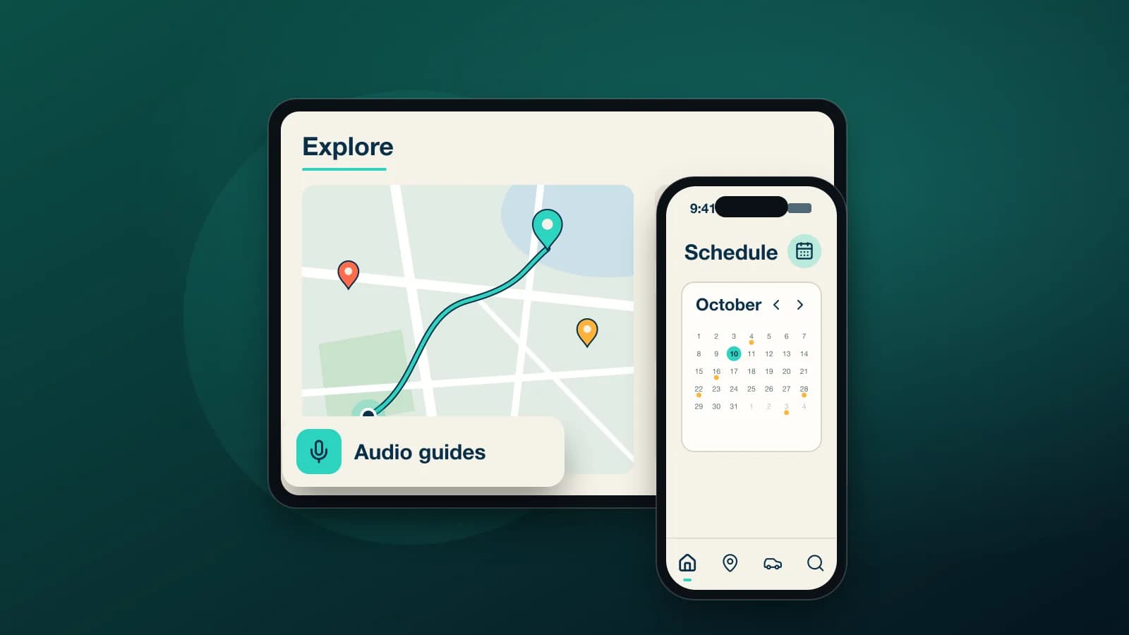
Audio guides
Every attraction has a spoken guide as well as a written description.
Interactive map
Attractions and the visitor's position on one map, with real-time navigation to each place.
Several languages
Content is available in multiple languages, chosen in the app.
Payments and QR confirmation
Secure payments in the app, and a QR code that confirms when a visitor has paid in cash.